|
|
 |
|
|
Back to main Tropical Weather page
| THREE-C 2013 | Forecast
Advisories | Discussion | Wind
Probabilities | Public
Advisories | UTC | Status | Basin | Lon | Lat | Speed
(Kts) | Direction | Central
Pressure | Sustained
Winds (Kts) | Wind
Gusts (Kts) | IR Imagery |
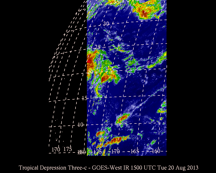
| Latest | Latest | None | None | 1500 Tue
Aug 20, 2013 |
Depression | CP | 179.5W | 19.5N | 17 | WNW | 1008 | 30 | 40 |
|
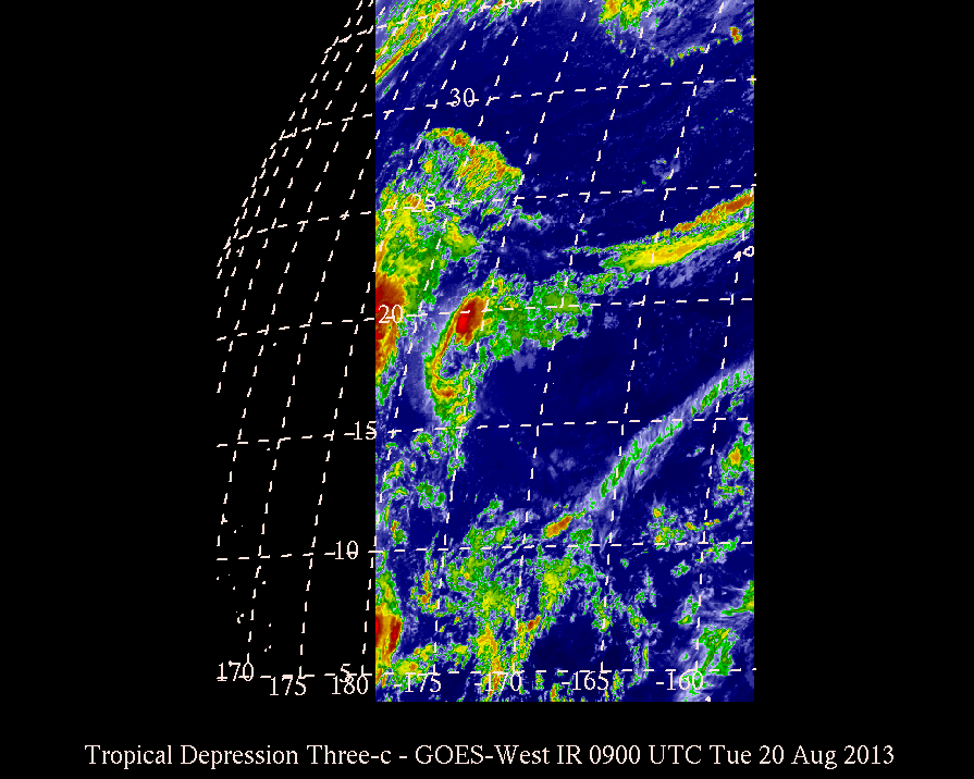
| 003 | 003 | None | None | 0900 Tue
Aug 20, 2013 |
Depression | CP | 177.9W | 19.0N | 16 | W | 1008 | 30 | 40 |
|
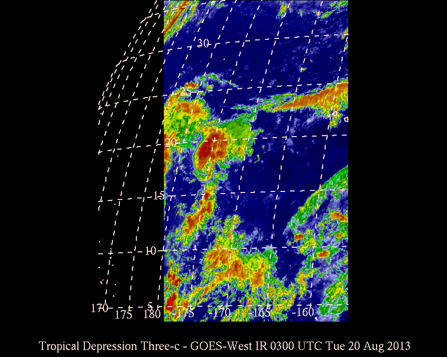
| 002 | 002 | None | None | 0300 Tue
Aug 20, 2013 |
Depression | CP | 176.3W | 18.8N | 9 | WNW | 1008 | 30 | 40 |
|
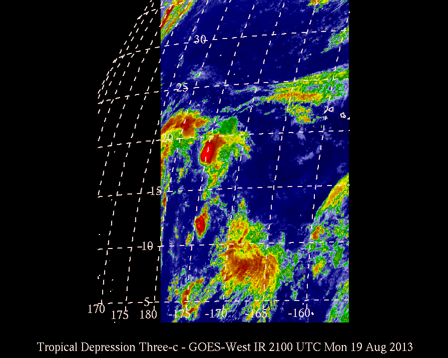
| 001 | 001 | None | None | 2100 Mon
Aug 19, 2013 |
Depression | CP | 175.5W | 18.3N | - | - | 1008 | 30 | 40 |
|
Back to main Tropical Weather page
This page is maintained voluntarily by the MKWC and the UHMET faculty, staff, and students.
It was last modified on: Wed, Jul 22 2020 - 2137 UTC
Send comments to: Ryan Lyman
|
|
|


