|
|
 |
|
|
Back to main Tropical Weather page
| DOLORES 2009 | Forecast
Advisories | Discussion | Wind
Probabilities | Public
Advisories | UTC | Status | Basin | Lon | Lat | Speed
(Kts) | Direction | Central
Pressure | Sustained
Winds (Kts) | Wind
Gusts (Kts) | IR Imagery |
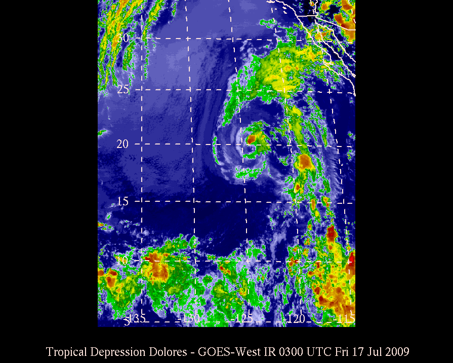
| Latest | Latest | None | None | 0300 Fri
Jul 17, 2009 |
Depression | EP | 124.1W | 19.6N | 19 | W | 1006 | 25 | 35 |
|
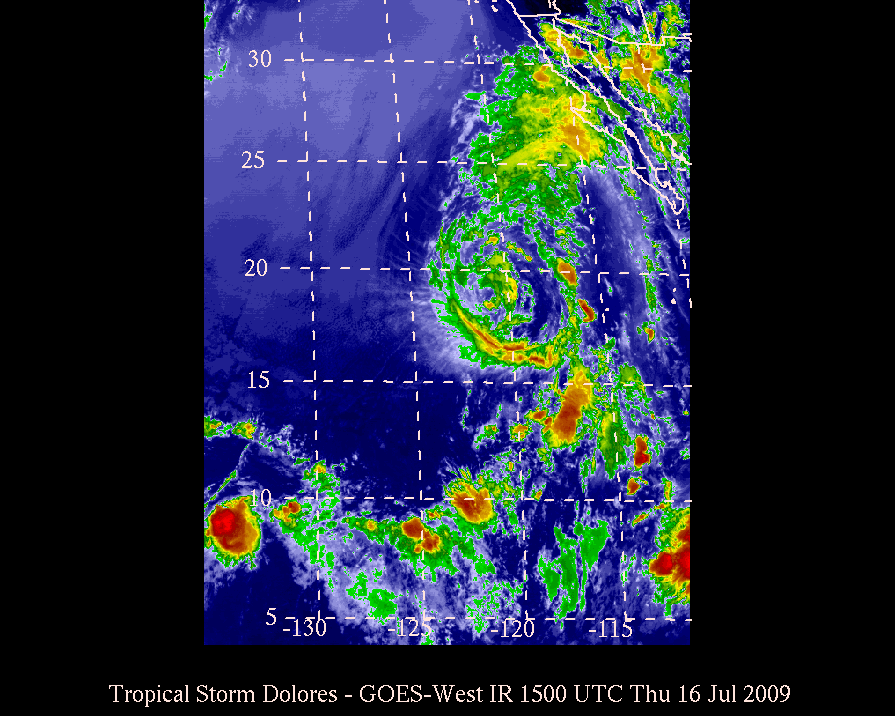
| 007 | 007 | None | None | 1500 Thu
Jul 16, 2009 |
Storm | EP | 120.4W | 18.9N | 15 | WNW | 1002 | 35 | 45 |
|
| 006 | 006 | None | None | 0900 Thu
Jul 16, 2009 |
Storm | EP | 119.1W | 18.2N | 16 | NW | 1000 | 45 | 55 |
|
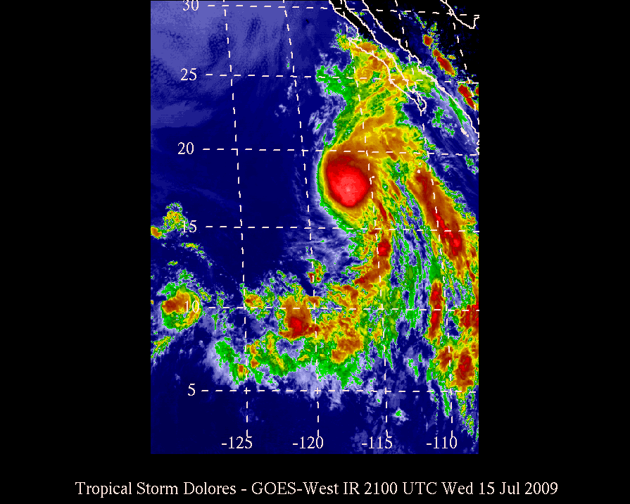
| 004 | 004 | None | None | 2100 Wed
Jul 15, 2009 |
Storm | EP | 116.6W | 16.2N | 14 | NW | 1003 | 40 | 50 |
|
| 002 | 002 | None | None | 0900 Wed
Jul 15, 2009 |
Depression | EP | 114.6W | 14.2N | 9 | WNW | 1006 | 30 | 40 |
|
| 001 | 001 | None | None | 0300 Wed
Jul 15, 2009 |
Depression | EP | 113.8W | 13.8N | - | - | 1006 | 30 | 40 |
|
Back to main Tropical Weather page
This page is maintained voluntarily by the MKWC and the UHMET faculty, staff, and students.
It was last modified on: Wed, Jul 22 2020 - 2137 UTC
Send comments to: Ryan Lyman
|
|
|


